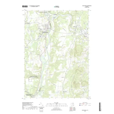
2019 Map of Schuylerville
USGS Topo · Published 2019About this map
The Hudson River serves as the central artery and boundary between Saratoga and Washington counties, carving a path through a landscape defined by revolutionary history and river-driven industry. To the west, the Saratoga National Historical Park preserves the ground of the 1777 battlefield, including the Great Ravine and the General Fraser Burial Site. The modern landscape is further anchored by the Gerald B.H. Solomon Saratoga National Cemetery, which occupies a significant portion of the river's western bluffs.
Find a feature on this map
136 named features on this map. Tap any name to fly to it.
Don’t see what you’re looking for? This feature index may not catch every label — zoom into the map to look around manually.
Map Details
Editions of this 2019 Schuylerville Map
This is the sole edition of this map. No revisions or reprints were ever made.
Other maps of this area

1893 · Cohoes
USGS Topo · 1:62,500

1895 · Cohoes
USGS Topo · 1:62,500

1895 · Cambridge
USGS Topo · 1:62,500

1897 · Hoosick
USGS Topo · 1:62,500

1898 · Cambridge
USGS Topo · 1:62,500

1898 · Cohoes
USGS Topo · 1:62,500

1900 · Taconic
USGS Topo · 1:125,000

1900 · Schuylerville
USGS Topo · 1:62,500

1901 · Cambridge
USGS Topo · 1:62,500

1903 · Mettawee
USGS Topo · 1:125,000