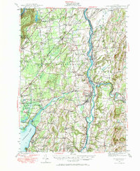
2023 Map of Schuylerville
USGS Topo · Published 2023About this map
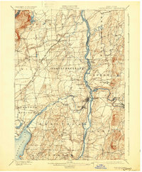
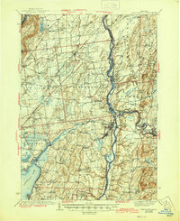
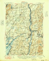
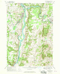
The Hudson River valley near the border of Saratoga Co and Washington Co is defined by its deep Revolutionary War significance and 19th-century industrial waterways. This modern survey illustrates the proximity of the Saratoga National Historical Park to modern landmarks like the Gerald B.H. Solomon Saratoga National Cemetery. Near the Great Ravine, the General Fraser Burial Site remains a critical point of interest for military historians. The landscape is also shaped by the Old Champlain Canal and the Batten Kill river, which meet near the settlements of Thomson and Clarks Mills. Higher elevations such as Willard Mtn and the unique volcanic formation at Starks Knob overlook the valley's mix of active agriculture and small-town centers like Schuylerville and Greenwich.
Find a feature on this map
134 named features on this map. Tap any name to fly to it.
Don’t see what you’re looking for? This feature index may not catch every label — zoom into the map to look around manually.
Map Details
Editions of this 2023 Schuylerville Map
This is the sole edition of this map. No revisions or reprints were ever made.
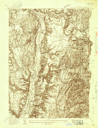
Historical Maps of Middle Falls Through Time
7 maps found