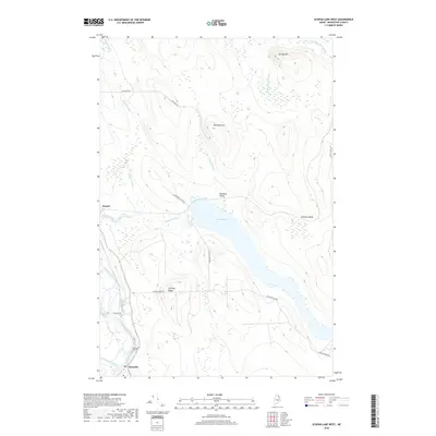
2018 Map of Scopan Lake West
USGS Topo · Published 2018About this map
Masardis serves as a focal point in the southwestern corner of this survey, where the Aroostook River winds through the Maine landscape. The area is defined by its timber and rail-dependent history, evidenced by Nowland Siding and Midway Siding located along the eastern shore of Scopan Lake. These features reflect the long-standing transport networks used to move northern Maine’s forest products.
Find a feature on this map
21 named features on this map. Tap any name to fly to it.
Don’t see what you’re looking for? This feature index may not catch every label — zoom into the map to look around manually.
Map Details
Editions of this 2018 Scopan Lake West Map
This is the sole edition of this map. No revisions or reprints were ever made.
Other maps of this area

1931 · Ashland
USGS Topo · 1:48,000

1934 · Ashland
USGS Topo · 1:62,500

1935 · Howe Brook
USGS Topo · 1:48,000

1935 · Presque Isle
USGS Topo · 1:62,500

1939 · Howe Brook
USGS Topo · 1:62,500

1940 · Oxbow
USGS Topo · 1:62,500

1942 · Oxbow
USGS Topo · 1:62,500

1953 · Ashland
USGS Topo · 1:62,500

1953 · Presque Isle
USGS Topo · 1:62,500

1954 · Howe Brook
USGS Topo · 1:62,500