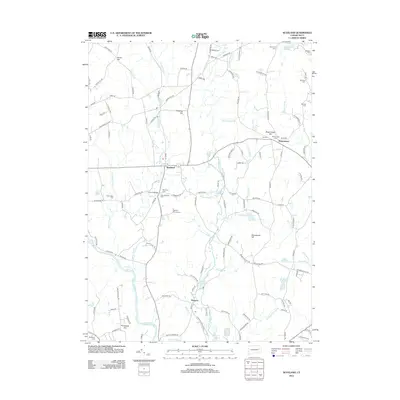
2012 Map of Scotland
USGS Topo · Published 2012About this map
The Shetucket River and the Little River anchor this rural landscape in Windham County, where numerous small waterways like Merrick Brook and Deane Brook carve through the glacial terrain of eastern Connecticut. The settlement of Scotland sits at the geographic center, while the village of Hanover occupies the southern reach along the riverbanks near the Hanover Reservoir and Papermill Pond. This area is dense with family and community history, evidenced by a high concentration of burial grounds including Scotland Cem, Westminster Cem, and the Bradford Cem. The road network is a mix of old turnpikes and local routes like New Brooklyn Tpke and Old Canterbury Rd, which connect the scattered homesteads and small centers. Preservation efforts are visible at the Kinne Preserve, while the historical footprint of industry and crossing points remains at Church Bridge and the Old Stone Mill Brook.
Find a feature on this map
131 named features on this map. Tap any name to fly to it.
Don’t see what you’re looking for? This feature index may not catch every label — zoom into the map to look around manually.
Map Details
Editions of this 2012 Scotland Map
This is the sole edition of this map. No revisions or reprints were ever made.
Other maps of this area

1889 · Putnam
USGS Topo · 1:62,500

1889 · Moosup
USGS Topo · 1:62,500

1892 · Woodstock
USGS Topo · 1:62,500

1892 · Norwich
USGS Topo · 1:62,500

1893 · Putnam
USGS Topo · 1:62,500

1893 · Moosup
USGS Topo · 1:62,500

1919 · Putnam
USGS Topo · 1:62,500

1920 · Moosup
USGS Topo · 1:62,500

1921 · Woodstock
USGS Topo · 1:62,500

1943 · Plainfield
USGS Topo · 1:31,680