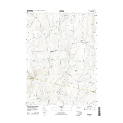
2015 Map of Scotland
USGS Topo · Published 2015About this map
Scotland and Hanover serve as the primary focal points of this 2015 study, situated along the rolling terrain of Windham County where the Shetucket River defines the southern boundary. The landscape is deeply influenced by a network of waterways including Merrick Brook, Little River, and Burnham Brook, which historically powered local industry as evidenced by features like Papermill Pond and Hanover Reservoir. Small rural settlements like Westminster are scattered throughout, connected by a dense web of local routes such as Brooklyn Tpke and Scotland Rd.
Find a feature on this map
119 named features on this map. Tap any name to fly to it.
Don’t see what you’re looking for? This feature index may not catch every label — zoom into the map to look around manually.
Map Details
Editions of this 2015 Scotland Map
This is the sole edition of this map. No revisions or reprints were ever made.
Other maps of this area

1889 · Putnam
USGS Topo · 1:62,500

1889 · Moosup
USGS Topo · 1:62,500

1892 · Woodstock
USGS Topo · 1:62,500

1892 · Norwich
USGS Topo · 1:62,500

1893 · Putnam
USGS Topo · 1:62,500

1893 · Moosup
USGS Topo · 1:62,500

1919 · Putnam
USGS Topo · 1:62,500

1920 · Moosup
USGS Topo · 1:62,500

1921 · Woodstock
USGS Topo · 1:62,500

1943 · Plainfield
USGS Topo · 1:31,680