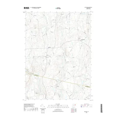
2018 Map of Scotland
USGS Topo · Published 2018About this map
Scotland and the surrounding village of Hanover are defined by the convergence of several major water systems, most notably the Shetucket River and its numerous tributaries. The landscape is marked by a series of prominent rises including Pudding Hill and Parish Hill, while the Hanover Reservoir serves as a central hydrological feature. The concentration of family and community history is evident in the numerous burial grounds scattered across the terrain, such as Old Scotland Cem and the Raymond Cem near Wright Pond. This map shows a region where the traditional rural settlement patterns of Windham County remain clearly legible. Local landmarks like Church Bridge and the winding course of Merrick Brook illustrate how the community developed around its water resources, while the presence of the Old Stone Mill Brook hints at the area's historical industrial reliance on these small, powerful streams.
Find a feature on this map
113 named features on this map. Tap any name to fly to it.
Don’t see what you’re looking for? This feature index may not catch every label — zoom into the map to look around manually.
Map Details
Editions of this 2018 Scotland Map
This is the sole edition of this map. No revisions or reprints were ever made.
Other maps of this area

1889 · Putnam
USGS Topo · 1:62,500

1889 · Moosup
USGS Topo · 1:62,500

1892 · Woodstock
USGS Topo · 1:62,500

1892 · Norwich
USGS Topo · 1:62,500

1893 · Putnam
USGS Topo · 1:62,500

1893 · Moosup
USGS Topo · 1:62,500

1919 · Putnam
USGS Topo · 1:62,500

1920 · Moosup
USGS Topo · 1:62,500

1921 · Woodstock
USGS Topo · 1:62,500

1943 · Plainfield
USGS Topo · 1:31,680