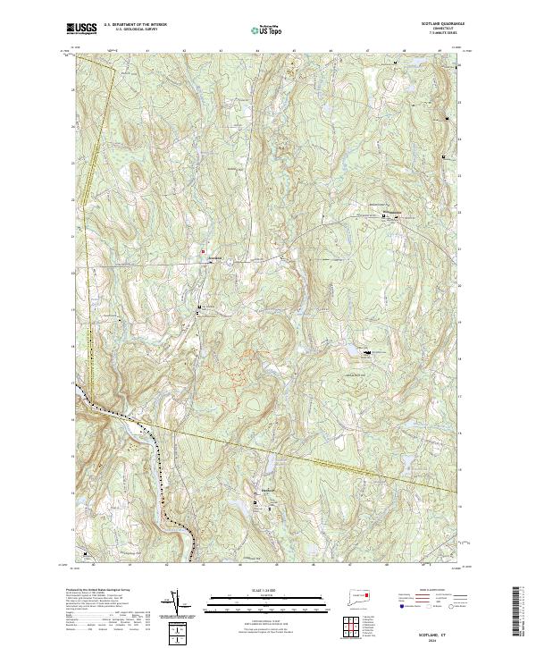
2024 Map of Scotland
USGS Topo · Published 2024About this map
The Shetucket River defines the southern reaches of this landscape, flowing past the village of Hanover and the slopes of Colegrove Hill. This area of eastern Connecticut is characterized by its numerous small burial grounds, such as the Old Scotland Cem and New Scotland Cem near the town center of Scotland, which provide a clear record of local family lineages. To the east, the community of Westminster sits near Westminster Hill, while the Hanover Reservoir and Little River highlight the historical importance of local water resources.
Find a feature on this map
126 named features on this map. Tap any name to fly to it.
Don’t see what you’re looking for? This feature index may not catch every label — zoom into the map to look around manually.
Map Details
Editions of this 2024 Scotland Map
This is the sole edition of this map. No revisions or reprints were ever made.
Other maps of this area

1889 · Putnam
USGS Topo · 1:62,500

1889 · Moosup
USGS Topo · 1:62,500

1892 · Woodstock
USGS Topo · 1:62,500

1892 · Norwich
USGS Topo · 1:62,500

1893 · Putnam
USGS Topo · 1:62,500

1893 · Moosup
USGS Topo · 1:62,500

1919 · Putnam
USGS Topo · 1:62,500

1920 · Moosup
USGS Topo · 1:62,500

1921 · Woodstock
USGS Topo · 1:62,500

1943 · Plainfield
USGS Topo · 1:31,680