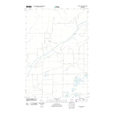
2010 Map of Scovils Lake
USGS Topo · Published 2010About this map
The Saint Croix River winds southwest across this landscape, serving as the central geographic feature of the region in the early 21st century. The river's flow is punctuated by the Coppermine Dam and joined by numerous tributaries including Crotte Creek, Beaver Creek, and Rock Creek. This network of waterways suggests a landscape defined by its hydrology, where small creeks and larger rivers have historically dictated settlement patterns and land use. For those researching local family history, the Riverhill Cemetery is a primary landmark situated near the junction of E Highline Rd and S Park Rd. The southern portion of the map is dominated by a series of glacial lakes, including Scovils Lake, Sand Lake, and Beartrack Lake, connected by a web of local roads and snowmobile trails like the Snow Mobile Trl.
Find a feature on this map
47 named features on this map. Tap any name to fly to it.
Don’t see what you’re looking for? This feature index may not catch every label — zoom into the map to look around manually.
Map Details
Editions of this 2010 Scovils Lake Map
This is the sole edition of this map. No revisions or reprints were ever made.
Other maps of this area

1945 · Solon Springs
USGS Topo · 1:48,000

1947 · Minong
USGS Topo · 1:48,000

1949 · Solon Springs
USGS Topo · 1:48,000

1949 · Minong
USGS Topo · 1:48,000

1949 · Webb Lake
USGS Topo · 1:48,000

1949 · Patzau
USGS Topo · 1:48,000

1953 · Ashland
USGS Topo · 1:250,000

1953 · Duluth
USGS Topo · 1:250,000

1955 · Webb Lake
USGS Topo · 1:62,500

1955 · Patzau
USGS Topo · 1:62,500