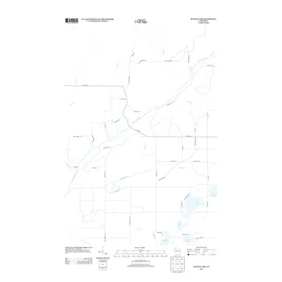
2013 Map of Scovils Lake
USGS Topo · Published 2013About this map
The Saint Croix River winds through this Douglas County landscape, serving as the central geographic feature for a region defined by its hydrography and forestry-related infrastructure. The map details a network of drainage systems including Crotte Cr, Beaver Cr, and Bacon Cr, which feed into the main river channel. This area in Northern Wisconsin is characterized by numerous glacial kettle lakes such as Scovils Lake, Beartrack Lake, and Sand Lake, which cluster in the southeast. The land use pattern is primarily defined by a sparse grid of roads and fire lanes, such as Gomulak Fire Ln and Cut-A-Cross Rd, which provide access through the wooded terrain. Local history and recreation are reflected in the presence of named trails like the Snow Mobile Trl and Rocky Brook Trl, alongside remote landings such as Dry Landing Rd.
Find a feature on this map
47 named features on this map. Tap any name to fly to it.
Don’t see what you’re looking for? This feature index may not catch every label — zoom into the map to look around manually.
Map Details
Editions of this 2013 Scovils Lake Map
This is the sole edition of this map. No revisions or reprints were ever made.
Other maps of this area

1945 · Solon Springs
USGS Topo · 1:48,000

1947 · Minong
USGS Topo · 1:48,000

1949 · Solon Springs
USGS Topo · 1:48,000

1949 · Minong
USGS Topo · 1:48,000

1949 · Webb Lake
USGS Topo · 1:48,000

1949 · Patzau
USGS Topo · 1:48,000

1953 · Ashland
USGS Topo · 1:250,000

1953 · Duluth
USGS Topo · 1:250,000

1955 · Webb Lake
USGS Topo · 1:62,500

1955 · Patzau
USGS Topo · 1:62,500