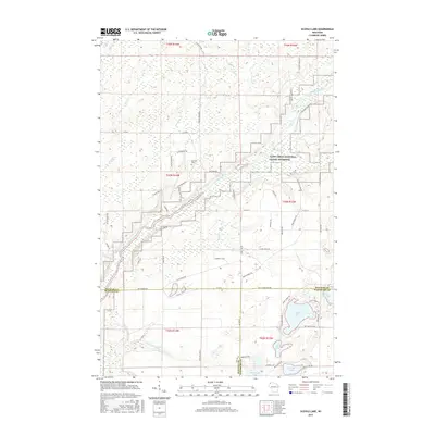
2015 Map of Scovils Lake
USGS Topo · Published 2015About this map
The Saint Croix National Scenic Riverway dominates the northern and central portions of this landscape, protecting the winding course of the Saint Croix River. This wilderness corridor is surrounded by a network of recreational trails and forest roads, including the Rocky Brook Trl and Snow Mobile Trl, reflecting the area's modern role in conservation and outdoor recreation. Near the center of the sheet, the Riverhill Cem stands as a quiet marker of local history along Westman Rd.
Find a feature on this map
60 named features on this map. Tap any name to fly to it.
Don’t see what you’re looking for? This feature index may not catch every label — zoom into the map to look around manually.
Map Details
Editions of this 2015 Scovils Lake Map
This is the sole edition of this map. No revisions or reprints were ever made.
Other maps of this area

1945 · Solon Springs
USGS Topo · 1:48,000

1947 · Minong
USGS Topo · 1:48,000

1949 · Solon Springs
USGS Topo · 1:48,000

1949 · Minong
USGS Topo · 1:48,000

1949 · Webb Lake
USGS Topo · 1:48,000

1949 · Patzau
USGS Topo · 1:48,000

1953 · Ashland
USGS Topo · 1:250,000

1953 · Duluth
USGS Topo · 1:250,000

1955 · Webb Lake
USGS Topo · 1:62,500

1955 · Patzau
USGS Topo · 1:62,500