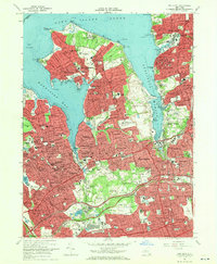
1968 Map of Sea Cliff
USGS Topo · Published 1970About this map
The North Shore of Long Island is characterized here by its deep harbors and the established residential pattern of the late 1960s. High-density coastal settlements like Glen Cove, Sea Cliff, and Great Neck define the western Nassau County shoreline, while the interior is a mix of affluent villages and extensive institutional grounds. Large estates and recreational holdings such as the Guggenheim Estate and the Sands Point Country Club occupy the northern peninsulas near Sands Point.
Find a feature on this map
134 named features on this map. Tap any name to fly to it.
Don’t see what you’re looking for? This feature index may not catch every label — zoom into the map to look around manually.
Map Details
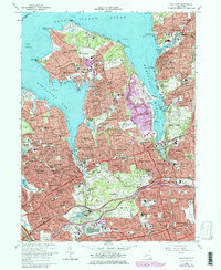
Editions of this 1968 Sea Cliff Map
2 editions found
Other maps of this area

1889 · Brooklyn
USGS Topo · 1:62,500

1891 · Brooklyn
USGS Topo · 1:62,500

1891 · Harlem
USGS Topo · 1:62,500

1897 · Harlem
USGS Topo · 1:62,500

1897 · Brooklyn
USGS Topo · 1:62,500

1897 · Hempstead
USGS Topo · 1:62,500

1897 · Oyster Bay
USGS Topo · 1:62,500

1898 · Harlem
USGS Topo · 1:62,500

1898 · Hempstead
USGS Topo · 1:62,500

1898 · Brooklyn
USGS Topo · 1:62,500