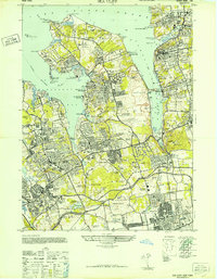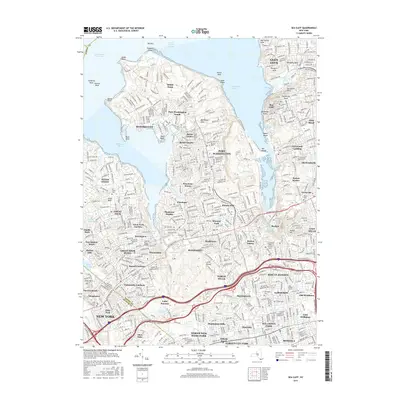
1968 Map of Sea Cliff
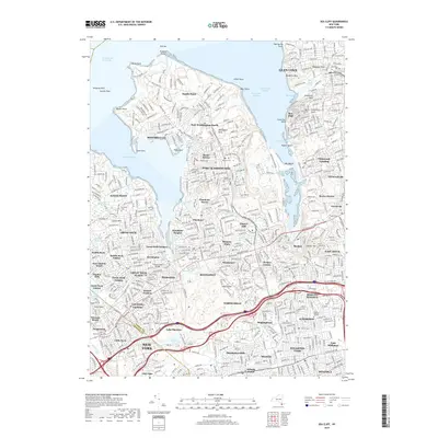
USGS Topo · Published 1979About this map
Deep-water harbors and densely developed suburban villages define this portion of the Long Island shoreline in the late 1960s. The landscape is characterized by the prominent peninsulas of Sands Point and Kings Point, which frame the busy waters of Manhasset Bay. Inland, the map reveals a meticulously planned network of residential communities such as Plandome Manor, Flower Hill, and Munsey Park, many organized around prestigious social hubs like the North Hempstead Country Club. Significant educational and religious institutions, including St Marys High Sch and Schreiber High Sch, serve as focal points for these growing neighborhoods.
Find a feature on this map
119 named features on this map. Tap any name to fly to it.
Don’t see what you’re looking for? This feature index may not catch every label — zoom into the map to look around manually.
Map Details
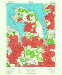
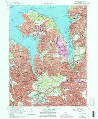
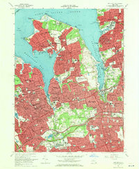
Editions of this 1968 Sea Cliff Map
2 editions found
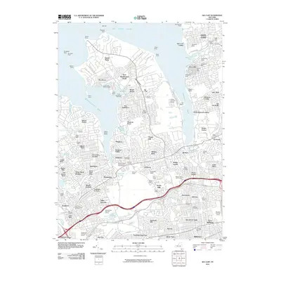
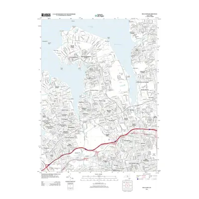
Historical Maps of New York Through Time
8 maps found