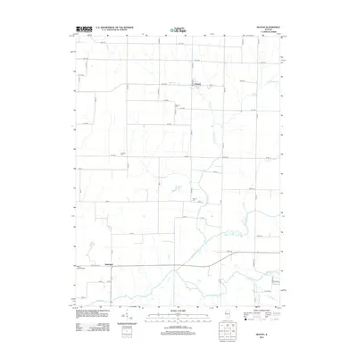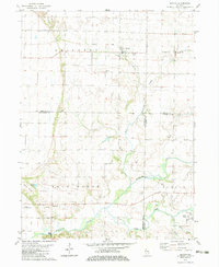
1982 Map of Seaton
USGS Topo · Published 1983About this map
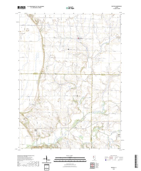
Seaton serves as the primary hub of this rural Illinois landscape, situated at the intersection of local townships near the Mercer Co Henderson Co line. The terrain is defined by the winding course of Henderson Creek and its tributaries, including Snake Creek and North Duck Creek, which carve through the farmland. Evidence of past infrastructure is visible in the Old Railroad Grade traversing Abington and Ohio Grove, suggesting the former path of rail commerce that once linked these prairie communities.
Find a feature on this map
25 named features on this map. Tap any name to fly to it.
Don’t see what you’re looking for? This feature index may not catch every label — zoom into the map to look around manually.
Map Details
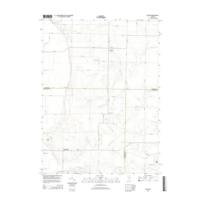
Editions of this 1982 Seaton Map
This is the sole edition of this map. No revisions or reprints were ever made.
Historical Maps of Little York Through Time
6 maps found