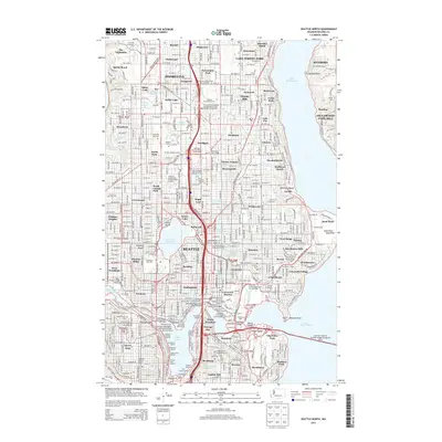
2014 Map of Seattle North
USGS Topo · Published 2014About this map
Lake Forest Park and the northern reaches of Seattle are captured in this 2014 survey, highlighting the complex urban infrastructure connecting the Puget Sound area to Lake Washington. The map details the dense neighborhoods of Shoreline, Northgate, and Greenwood, while illustrating the vital role of the Lake Washington Ship Canal in linking Portage Bay and Lake Union. Educational and cultural landmarks are prominent, including the sprawling University of Washington-Seattle Campus, the Woodland Park Zoo, and several maritime hubs like the Nautical Landing Marina and Seattle Boat Company Marina.
Find a feature on this map
123 named features on this map. Tap any name to fly to it.
Don’t see what you’re looking for? This feature index may not catch every label — zoom into the map to look around manually.
Map Details
Editions of this 2014 Seattle North Map
This is the sole edition of this map. No revisions or reprints were ever made.
Other maps of this area

1894 · Seattle
USGS Topo · 1:62,500

1895 · Snohomish
USGS Topo · 1:125,000

1897 · Seattle
USGS Topo · 1:125,000

1908 · Seattle
USGS Topo · 1:62,500

1909 · Seattle Special
USGS Topo · 1:62,500

1942 · Edmonds
USGS Topo · 1:62,500

1944 · Everett
USGS Topo · 1:62,500

1949 · Shilshole Bay
USGS Topo · 1:24,000
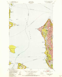
1949 · Duwamish Head
USGS Topo · 1:24,000

1949 · Seattle North
USGS Topo · 1:24,000