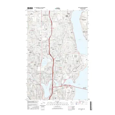
2017 Map of Seattle North
USGS Topo · Published 2017About this map
The urban landscape of Seattle and its northern neighbors is defined by the intricate waterways connecting Puget Sound to Lake Washington. This 2017 study illustrates the dense residential and educational fabric of the region, anchored by the sprawling campus of the University of Washington and North Seattle College. The map highlights the critical engineering of the Lake Washington Ship Canal, which bridges the gap between Salmon Bay and Union Bay, fundamentally altering the city's hydrology.
Find a feature on this map
88 named features on this map. Tap any name to fly to it.
Don’t see what you’re looking for? This feature index may not catch every label — zoom into the map to look around manually.
Map Details
Editions of this 2017 Seattle North Map
This is the sole edition of this map. No revisions or reprints were ever made.
Other maps of this area

1894 · Seattle
USGS Topo · 1:62,500

1895 · Snohomish
USGS Topo · 1:125,000

1897 · Seattle
USGS Topo · 1:125,000

1908 · Seattle
USGS Topo · 1:62,500

1909 · Seattle Special
USGS Topo · 1:62,500

1942 · Edmonds
USGS Topo · 1:62,500

1944 · Everett
USGS Topo · 1:62,500

1949 · Shilshole Bay
USGS Topo · 1:24,000
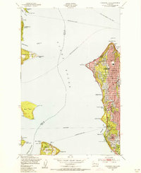
1949 · Duwamish Head
USGS Topo · 1:24,000

1949 · Seattle North
USGS Topo · 1:24,000