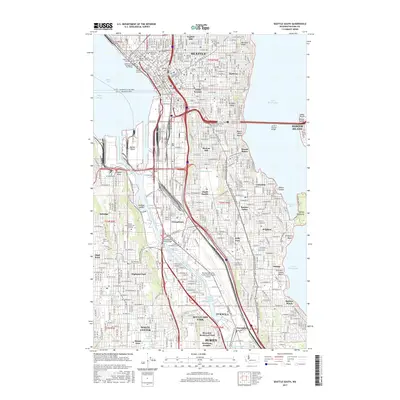
2017 Map of Seattle South
USGS Topo · Published 2017About this map
Harbor Island and its surrounding industrial waterways dominate this map, documenting the sophisticated maritime and transportation infrastructure of south Seattle. The landscape is a study in logistics, where the Duwamish Waterway divides to create the Harbor Island Reach and Georgetown Reach, while the Alaskan Way Viaduct and Battery Street Tunnel provide critical transit links through the urban core.
Find a feature on this map
89 named features on this map. Tap any name to fly to it.
Don’t see what you’re looking for? This feature index may not catch every label — zoom into the map to look around manually.
Map Details
Editions of this 2017 Seattle South Map
This is the sole edition of this map. No revisions or reprints were ever made.
Other maps of this area

1894 · Seattle
USGS Topo · 1:62,500

1895 · Snohomish
USGS Topo · 1:125,000

1897 · Tacoma
USGS Topo · 1:125,000

1897 · Seattle
USGS Topo · 1:125,000

1900 · Tacoma
USGS Topo · 1:125,000

1908 · Seattle
USGS Topo · 1:62,500

1909 · Seattle Special
USGS Topo · 1:62,500

1949 · Shilshole Bay
USGS Topo · 1:24,000

1949 · Renton
USGS Topo · 1:24,000
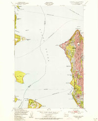
1949 · Duwamish Head
USGS Topo · 1:24,000