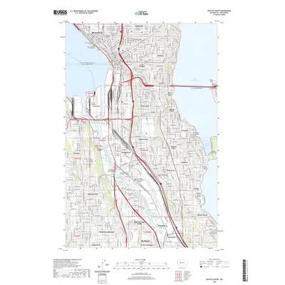
2020 Map of Seattle South
USGS Topo · Published 2020About this map
Seattle and its southern urban neighborhoods are defined by the complex industrial and transit corridor surrounding the Duwamish Waterway. This area showcases the city's heavy logistical infrastructure, from the expansive Harbor Island at the mouth of the river to the aviation footprint of Boeing Field/King County International Airport. The map traces the varied topography of residential districts like Capitol Hill, Beacon Hill, and Rainier Valley, where the street grid adjusts to the ridges overlooking Lake Washington.
Find a feature on this map
76 named features on this map. Tap any name to fly to it.
Don’t see what you’re looking for? This feature index may not catch every label — zoom into the map to look around manually.
Map Details
Editions of this 2020 Seattle South Map
This is the sole edition of this map. No revisions or reprints were ever made.
Other maps of this area

1894 · Seattle
USGS Topo · 1:62,500

1895 · Snohomish
USGS Topo · 1:125,000

1897 · Tacoma
USGS Topo · 1:125,000

1897 · Seattle
USGS Topo · 1:125,000

1900 · Tacoma
USGS Topo · 1:125,000

1908 · Seattle
USGS Topo · 1:62,500

1909 · Seattle Special
USGS Topo · 1:62,500

1949 · Shilshole Bay
USGS Topo · 1:24,000

1949 · Renton
USGS Topo · 1:24,000
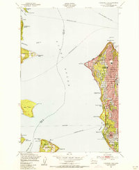
1949 · Duwamish Head
USGS Topo · 1:24,000