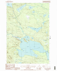
1988 Map of Sebec Lake West
USGS Topo · Published 1988About this map
Sebec Lake and the wilderness reaches of Bowerbank and Willimantic dominate this 1980s terrain in Piscataquis County. The landscape is defined by its complex hydrology, where Ship Pond Stream winds southward past Cowyard Falls to meet the larger lake. To the north, the isolated settlement of Onawa sits near the shores of Lake Onawa, while the southern reaches of the map show the early development of Peaks-Kenny State Park. Small lakeside access points like Earley Landing and Packard Landing suggest a recreational and timber-focused economy. The surrounding peaks, including Hedgehog Mountain and Granite Mtn, overlook a network of bogs and smaller water bodies such as Big Benson Pond and First Buttermilk Pond, illustrating the glacial character of the Maine woods before significant modern expansion.
Find a feature on this map
67 named features on this map. Tap any name to fly to it.
Don’t see what you’re looking for? This feature index may not catch every label — zoom into the map to look around manually.
Map Details
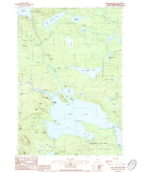
Editions of this 1988 Sebec Lake West Map
2 editions found
Other maps of this area

1932 · Dover-Foxcroft
USGS Topo · 1:48,000

1933 · Guilford
USGS Topo · 1:62,500

1935 · Dover-Foxcroft
USGS Topo · 1:62,500

1937 · Guilford
USGS Topo · 1:62,500

1940 · Sebec
USGS Topo · 1:48,000

1943 · Sebec
USGS Topo · 1:62,500

1950 · Sebec Lake
USGS Topo · 1:62,500

1954 · Millinocket
USGS Topo · 1:250,000

1958 · Millinocket
USGS Topo · 1:250,000

1960 · Millinocket
USGS Topo · 1:250,000