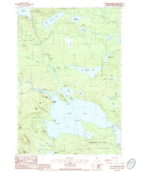
1988 Map of Sebec Lake West
USGS Topo · Published 1988About this map
Sebec Lake and its intricate northern shoreline dominate this 1980s landscape, where the town of Willimantic meets the rugged topography of Piscataquis County. This survey captures a transitional wilderness era defined by seasonal lakeside life and forestry, marked by remote points like Earley Landing and Packard Landing. The terrain is characterized by steep rises such as Hedgehog Mountain and Granite Mtn, with the Wilson River and Ship Pond Stream feeding into the massive water body.
Find a feature on this map
68 named features on this map. Tap any name to fly to it.
Don’t see what you’re looking for? This feature index may not catch every label — zoom into the map to look around manually.
Map Details
Editions of this 1988 Sebec Lake West Map
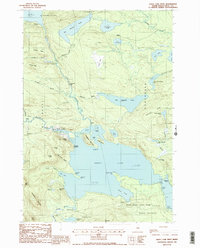
2 editions found
Other maps of this area

1932 · Dover-Foxcroft
USGS Topo · 1:48,000

1933 · Guilford
USGS Topo · 1:62,500

1935 · Dover-Foxcroft
USGS Topo · 1:62,500

1937 · Guilford
USGS Topo · 1:62,500

1940 · Sebec
USGS Topo · 1:48,000

1943 · Sebec
USGS Topo · 1:62,500

1950 · Sebec Lake
USGS Topo · 1:62,500

1954 · Millinocket
USGS Topo · 1:250,000

1958 · Millinocket
USGS Topo · 1:250,000

1960 · Millinocket
USGS Topo · 1:250,000