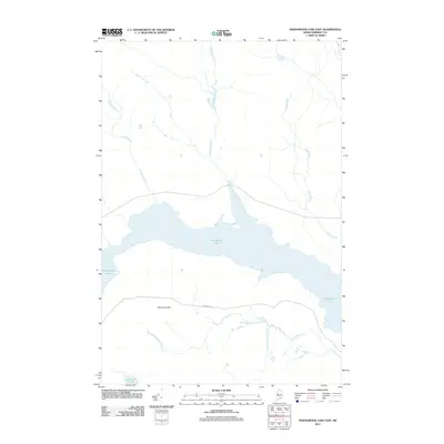
2011 Map of Seboomook Lake East
USGS Topo · Published 2011About this map
Seboomook Lake dominates this portion of Somerset County, serving as the central basin for an intricate network of waterways including Nulhedus Stream and Logan Brook. The landscape is defined by the high ground of Sevenmile Hill, which overlooks the winding course of the Seboomook Rd. This transportation corridor runs parallel to the lake's southern shore, bridging the gap between several distinct drainages such as North Branch Carry Brook and Carry Brook. To the far south, the isolated Socatean Pond marks the edge of this timber-rich terrain. The map's layout of streams and the singular road emphasize the area's character as a managed wilderness, where the hydrology of the lake is fed by numerous named brooks like Negro Brook and South Branch Carry Brook.
Find a feature on this map
10 named features on this map. Tap any name to fly to it.
Don’t see what you’re looking for? This feature index may not catch every label — zoom into the map to look around manually.
Map Details
Editions of this 2011 Seboomook Lake East Map
This is the sole edition of this map. No revisions or reprints were ever made.
Other maps of this area

1954 · Seboomook Lake
USGS Topo · 1:62,500

1954 · North East Carry
USGS Topo · 1:62,500

1954 · Caucomgomoc Lake
USGS Topo · 1:62,500

1954 · St. John Pond
USGS Topo · 1:62,500

1954 · Presque Isle
USGS Topo · 1:250,000

1954 · Millinocket
USGS Topo · 1:250,000

1958 · Presque Isle
USGS Topo · 1:250,000

1958 · Millinocket
USGS Topo · 1:250,000

1958 · Caucomgomoc Lake
USGS Topo · 1:62,500

1958 · Saint John Pond
USGS Topo · 1:62,500