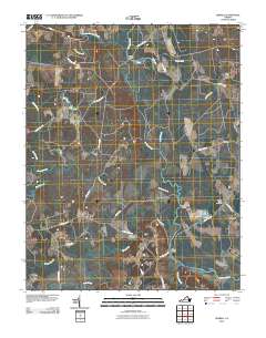
2010 Map of Sebrell
USGS Topo · Published 2010About this map
Sebrell serves as the primary settlement hub in this part of Southampton County, where the landscape is defined by the winding course of the Nottoway River and its numerous tributary swamps. The mapping reveals a rural infrastructure reliant on historic crossings such as Peters Bridge and Westbrook Bridge, which connect the scattered agricultural tracts and timberlands. Local history is anchored by family-named burial grounds including Hickory Hill Cemetery and the Sebrell-Reese Cemetery, providing essential geographic context for genealogical research in this Tidewater region.
Find a feature on this map
37 named features on this map. Tap any name to fly to it.
Don’t see what you’re looking for? This feature index may not catch every label — zoom into the map to look around manually.
Map Details
Editions of this 2010 Sebrell Map
This is the sole edition of this map. No revisions or reprints were ever made.
Other maps of this area

1919 · Jarratt
USGS Topo · 1:62,500

1919 · Homeville
USGS Topo · 1:48,000

1919 · Boykins
USGS Topo · 1:48,000

1919 · Arringdale
USGS Topo · 1:48,000

1920 · Homeville
USGS Topo · 1:62,500

1920 · Boykins
USGS Topo · 1:62,500

1920 · Arringdale
USGS Topo · 1:62,500

1942 · Arringdale
USGS Topo · 1:62,500

1943 · Sebrell
USGS Topo · 1:31,680

1943 · Manry
USGS Topo · 1:31,680