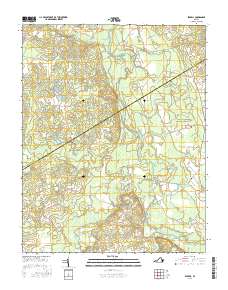
2016 Map of Sebrell
USGS Topo · Published 2016About this map
The Nottoway River defines the low-lying landscape of south-central Virginia, where the border of Sussex and Southampton counties follows the shifting paths of the coastal plain. In this 2016 survey, the village of Sebrell sits as a primary junction for rural life, surrounded by a dense network of drainage systems like Hunting Quarter Swamp, Buckhorn Swamp, and Hornet Swamp. The map reveals a reliance on historical crossings, noted by landmarks such as Peters Bridge, Westbrook Bridge, and Careys Bridge that span the slow-moving river and its tributaries. Local family histories are preserved in several documented burial grounds, including the Hickory Hill Cem, Butts Cem, and Sebrell-Reese Cem. The distribution of these features suggests a community traditionally shaped by the geography of the wetlands and the agricultural tracts accessed via routes like Barn Tavern Rd and Mill Neck Rd.
Find a feature on this map
42 named features on this map. Tap any name to fly to it.
Don’t see what you’re looking for? This feature index may not catch every label — zoom into the map to look around manually.
Map Details
Editions of this 2016 Sebrell Map
This is the sole edition of this map. No revisions or reprints were ever made.
Other maps of this area

1919 · Jarratt
USGS Topo · 1:62,500

1919 · Homeville
USGS Topo · 1:48,000

1919 · Boykins
USGS Topo · 1:48,000

1919 · Arringdale
USGS Topo · 1:48,000

1920 · Homeville
USGS Topo · 1:62,500

1920 · Boykins
USGS Topo · 1:62,500

1920 · Arringdale
USGS Topo · 1:62,500

1942 · Arringdale
USGS Topo · 1:62,500

1943 · Sebrell
USGS Topo · 1:31,680

1943 · Manry
USGS Topo · 1:31,680