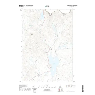
2018 Map of Second Connecticut Lake
USGS Topo · Published 2018About this map
The Connecticut River begins its long journey southward from a series of high-altitude glacial basins along the international boundary between the United States and Canada. This northernmost stretch of New Hampshire is defined by a chain of water bodies, including the remote Fourth Connecticut Lake and the larger Third Connecticut Lake, which sit at the base of Salmon Mtn. The landscape is dominated by steep timbered ridges like Deer Mtn and Black Cat Spur, with the small community of Idlewilde positioned along the western shore of Second Connecticut Lake. The presence of Desmond Valley and various logging roads such as Scott Brook Rd and Big Brook Rd reflects the long-standing importance of the forest products industry in this borderland. Notable landmarks like Moose Falls and Scott Bog further illustrate the primitive, water-rich character of the Great North Woods during this period.
Find a feature on this map
37 named features on this map. Tap any name to fly to it.
Don’t see what you’re looking for? This feature index may not catch every label — zoom into the map to look around manually.
Map Details
Editions of this 2018 Second Connecticut Lake Map
This is the sole edition of this map. No revisions or reprints were ever made.
Other maps of this area

1925 · Indian Stream
USGS Topo · 1:48,000

1926 · Indian Stream
USGS Topo · 1:62,500

1927 · Indian Stream
USGS Topo · 1:62,500

1927 · Moose Bog
USGS Topo · 1:48,000

1927 · Second Lake
USGS Topo · 1:62,500

1931 · Moose Bog
USGS Topo · 1:62,500

1932 · Second Lake
USGS Topo · 1:62,500

1949 · Jackman
USGS Topo · 1:250,000

1963 · Jackman
USGS Topo · 1:250,000

1966 · Sherbrooke
USGS Topo · 1:250,000