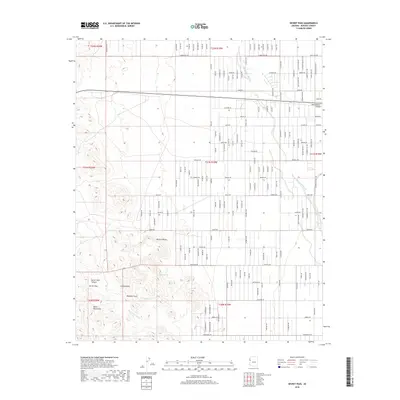
2018 Map of Secret Pass
USGS Topo · Published 2018About this map
The Black Mountains dominate the southwestern reaches of this Mohave County survey, where the dramatic terrain of Secret Pass Canyon gives way to the broader Mojave Desert floor. This arid landscape is defined by its drainage patterns and isolated water sources, most notably the seasonal Sacramento Wash and the ephemeral Secret Pass Wash. Within the rugged high ground, natural landmarks like Cowboy Arch and Hualapai Arch stand as distinct markers for those navigating the transition between the mountains and the plains.
Find a feature on this map
118 named features on this map. Tap any name to fly to it.
Don’t see what you’re looking for? This feature index may not catch every label — zoom into the map to look around manually.
Map Details
Editions of this 2018 Secret Pass Map
This is the sole edition of this map. No revisions or reprints were ever made.
Other maps of this area

1886 · Camp Mohave
USGS Topo · 1:250,000

1892 · Camp Mohave
USGS Topo · 1:250,000

1939 · Chloride
USGS Topo · 1:48,000

1942 · Camp Mohave
USGS Topo · 1:250,000

1944 · Chloride
USGS Topo · 1:62,500

1947 · Kingman
USGS Topo · 1:250,000

1948 · Kingman
USGS Topo · 1:250,000

1954 · Kingman
USGS Topo · 1:250,000

1955 · Kingman
USGS Topo · 1:250,000

1958 · Kingman
USGS Topo · 1:250,000