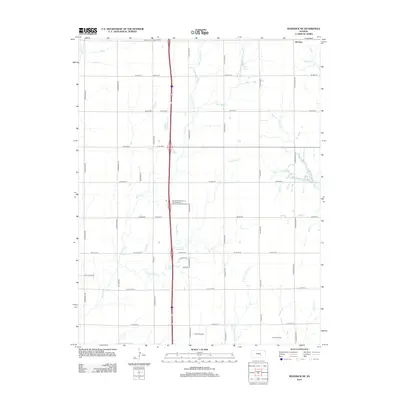
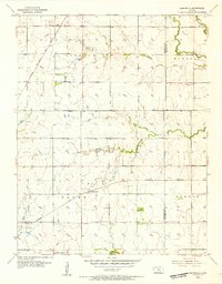
2012 Map of Sedgwick NE
USGS Topo · Published 2012About this map
McLains stands as a primary settlement point in this section of Harvey County, situated amidst a dense grid of rural township roads and agricultural land. The terrain is defined by the headwaters and branches of numerous creek systems, including Gooseberry Cr and the multiple forks of Jester Cr. The landscape's economic character is evidenced by the Kuske Oil Field and specialized infrastructure such as the Lil Bird Airport.
Find a feature on this map
54 named features on this map. Tap any name to fly to it.
Don’t see what you’re looking for? This feature index may not catch every label — zoom into the map to look around manually.
Map Details
Editions of this 2012 Sedgwick NE Map
This is the sole edition of this map. No revisions or reprints were ever made.
Other maps of this area
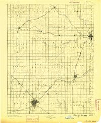
1889 · Newton
USGS Topo · 1:125,000

1889 · Wichita
USGS Topo · 1:125,000
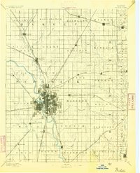
1894 · Wichita
USGS Topo · 1:125,000
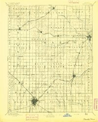
1894 · Newton
USGS Topo · 1:125,000
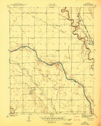
1941 · Maize
USGS Topo · 1:31,680
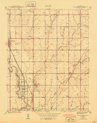
1941 · Valley Center
USGS Topo · 1:31,680
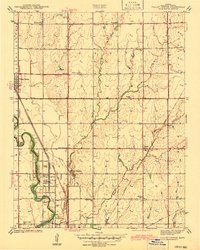
1942 · Valley Center
USGS Topo · 1:31,680
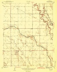
1942 · Maize
USGS Topo · 1:31,680
1955 · Greenwich
USGS Topo · 1:24,000

1955 · Wichita
USGS Topo · 1:250,000