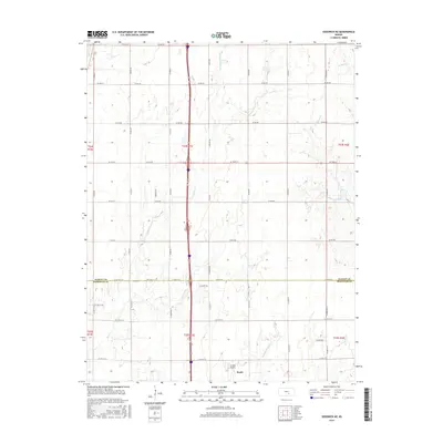
2015 Map of Sedgwick NE
USGS Topo · Published 2015About this map
Kechi sits at the southern edge of this landscape, marking the transition from the growing outskirts of Wichita into the agricultural expanse of the Kansas plains. The terrain is defined by a dense network of seasonal and permanent watercourses, including the central Jester Cr and its tributaries, E Fork Jester Cr and W Fork Jester Cr. These streams, along with Gooseberry Cr and the headwaters of Chisholm Cr, create a repetitive, gently undulating drainage pattern across the township lines.
Find a feature on this map
60 named features on this map. Tap any name to fly to it.
Don’t see what you’re looking for? This feature index may not catch every label — zoom into the map to look around manually.
Map Details
Editions of this 2015 Sedgwick NE Map
This is the sole edition of this map. No revisions or reprints were ever made.
Other maps of this area

1889 · Newton
USGS Topo · 1:125,000

1889 · Wichita
USGS Topo · 1:125,000

1894 · Wichita
USGS Topo · 1:125,000

1894 · Newton
USGS Topo · 1:125,000

1941 · Maize
USGS Topo · 1:31,680

1941 · Valley Center
USGS Topo · 1:31,680

1942 · Valley Center
USGS Topo · 1:31,680

1942 · Maize
USGS Topo · 1:31,680

1955 · Greenwich
USGS Topo · 1:24,000

1955 · Wichita
USGS Topo · 1:250,000