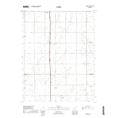
2018 Map of Sedgwick NE
USGS Topo · Published 2018About this map
Agricultural lands and prairie drainage patterns dominate this region along the border of Harvey and Sedgwick counties. The southern outskirts of Newton anchor the northern edge of the sheet, while the northern extent of Kechi appears in the south. The landscape is defined by the headwaters of several prominent creeks, including Jester Creek and its eastern fork, which meander through a grid of established county roads like County Road 578 and South Spencer Road.
Find a feature on this map
62 named features on this map. Tap any name to fly to it.
Don’t see what you’re looking for? This feature index may not catch every label — zoom into the map to look around manually.
Map Details
Editions of this 2018 Sedgwick NE Map
This is the sole edition of this map. No revisions or reprints were ever made.
Other maps of this area

1889 · Newton
USGS Topo · 1:125,000

1889 · Wichita
USGS Topo · 1:125,000

1894 · Wichita
USGS Topo · 1:125,000

1894 · Newton
USGS Topo · 1:125,000

1941 · Maize
USGS Topo · 1:31,680

1941 · Valley Center
USGS Topo · 1:31,680

1942 · Valley Center
USGS Topo · 1:31,680

1942 · Maize
USGS Topo · 1:31,680

1955 · Greenwich
USGS Topo · 1:24,000

1955 · Wichita
USGS Topo · 1:250,000