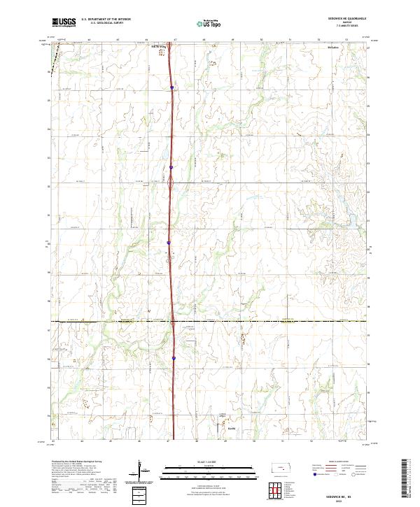
2022 Map of Sedgwick NE
USGS Topo · Published 2022About this map
Newton anchors the northern border of this central Kansas landscape, where the agricultural grid of Harvey County meets the northern edge of Sedgwick County. The terrain is defined by a dense network of prairie waterways, including the winding Jester Creek and Gooseberry Creek systems that feed south toward the larger drainage basins. Small rural hubs like Keechi and Woodlawn are situated along section-line roads, reflecting the long-standing land divisions of the Public Land Survey System.
Find a feature on this map
63 named features on this map. Tap any name to fly to it.
Don’t see what you’re looking for? This feature index may not catch every label — zoom into the map to look around manually.
Map Details
Editions of this 2022 Sedgwick NE Map
This is the sole edition of this map. No revisions or reprints were ever made.
Other maps of this area

1889 · Newton
USGS Topo · 1:125,000

1889 · Wichita
USGS Topo · 1:125,000

1894 · Wichita
USGS Topo · 1:125,000

1894 · Newton
USGS Topo · 1:125,000

1941 · Maize
USGS Topo · 1:31,680

1941 · Valley Center
USGS Topo · 1:31,680

1942 · Valley Center
USGS Topo · 1:31,680

1942 · Maize
USGS Topo · 1:31,680

1955 · Greenwich
USGS Topo · 1:24,000

1955 · Wichita
USGS Topo · 1:250,000