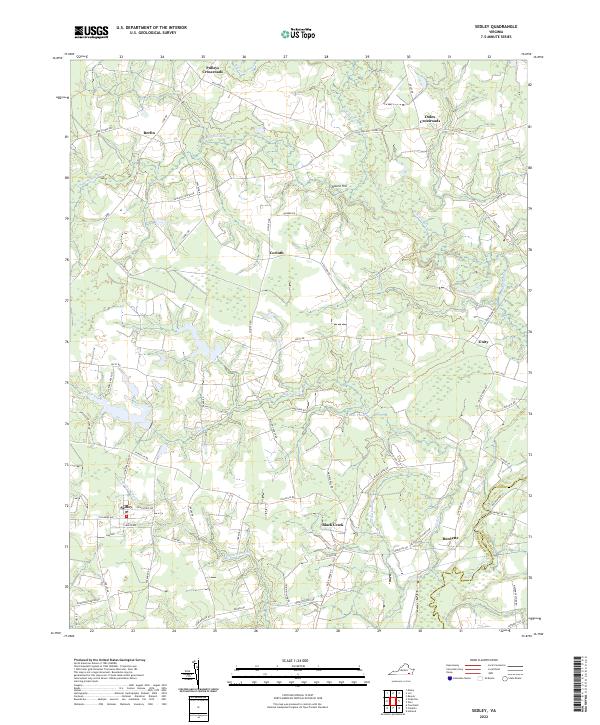
2022 Map of Sedley
USGS Topo · Published 2022About this map
Sedley serves as a primary hub within this rural coastal plain landscape, where the Southampton and Isle of Wight county line is defined by the winding course of the Blackwater River. The settlement pattern is characterized by numerous historic junctions and hamlets, including Pulleys Crossroads, Doles Crossroads, and the small community of Berlin. The region’s hydrology is dominated by extensive wetlands such as Round-Hill Swamp and Cattail Swamp, which dictate the winding paths of local thoroughfares like Seacock Chapel Rd and Vicksville Rd. Local history is anchored by landmarks like the First Baptist Church near Burdette and the namesake Round Hill that rises above the surrounding lowlands. The geography reflects a long-standing agricultural and timber-based economy, with small centers like Corinth and Unity connected by a network of rural routes crossing Black Creek and its various tributaries.
Find a feature on this map
66 named features on this map. Tap any name to fly to it.
Don’t see what you’re looking for? This feature index may not catch every label — zoom into the map to look around manually.
Map Details
Editions of this 2022 Sedley Map
This is the sole edition of this map. No revisions or reprints were ever made.
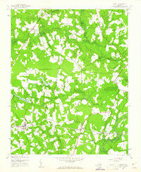
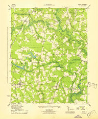
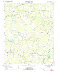
Historical Maps of Black Creek Through Time
4 maps found