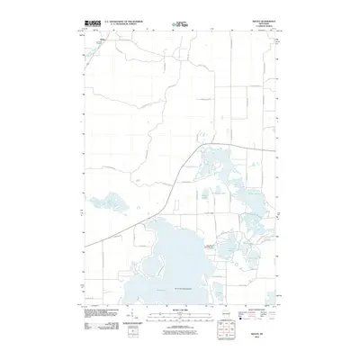
2010 Map of Seeley
USGS Topo · Published 2010About this map
Seeley stands as the primary settlement in this Wisconsin landscape, situated near the winding path of the Namekagon River. The northern portion of the map is marked by the Riverside Cemetery, while the south is dominated by an extensive network of water bodies. The presence of the Round Lake Seaplane Base on the northern shore of Round Lake highlights the region's reliance on aerial access to its numerous glaciated basins.
Find a feature on this map
53 named features on this map. Tap any name to fly to it.
Don’t see what you’re looking for? This feature index may not catch every label — zoom into the map to look around manually.
Map Details
Editions of this 2010 Seeley Map
This is the sole edition of this map. No revisions or reprints were ever made.
Other maps of this area

1943 · Namekagon Lake
USGS Topo · 1:48,000

1944 · Couderay
USGS Topo · 1:48,000

1944 · Radisson
USGS Topo · 1:48,000

1944 · Hayward
USGS Topo · 1:48,000

1945 · Namekagon Lake
USGS Topo · 1:48,000

1948 · Couderay
USGS Topo · 1:48,000

1949 · Radisson
USGS Topo · 1:48,000

1953 · Ashland
USGS Topo · 1:250,000

1953 · Rice Lake
USGS Topo · 1:250,000

1958 · Ashland
USGS Topo · 1:250,000