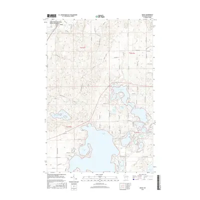
2015 Map of Seeley
USGS Topo · Published 2015About this map
Seeley and the surrounding Sawyer County lake country are defined by a complex network of glacial water bodies and protected river corridors. The Saint Croix National Scenic Riverway follows the winding path of the Namekagon River in the northwest, while the southern landscape is dominated by the sprawling reaches of Round Lake and its distinctive Hinton Bay. A legacy of water management for recreation and perhaps earlier industry is visible in the Tiger Cat Flowage and the tightly clustered waters of McClaine Lake and Farnsworth Lake. Small local landmarks like Riverside Cem near the riverbank anchor the rural community, connected by a grid of named local routes including Co Hwy OO and Valley Rd.
Find a feature on this map
87 named features on this map. Tap any name to fly to it.
Don’t see what you’re looking for? This feature index may not catch every label — zoom into the map to look around manually.
Map Details
Editions of this 2015 Seeley Map
This is the sole edition of this map. No revisions or reprints were ever made.
Other maps of this area

1943 · Namekagon Lake
USGS Topo · 1:48,000

1944 · Couderay
USGS Topo · 1:48,000

1944 · Radisson
USGS Topo · 1:48,000

1944 · Hayward
USGS Topo · 1:48,000

1945 · Namekagon Lake
USGS Topo · 1:48,000

1948 · Couderay
USGS Topo · 1:48,000

1949 · Radisson
USGS Topo · 1:48,000

1953 · Ashland
USGS Topo · 1:250,000

1953 · Rice Lake
USGS Topo · 1:250,000

1958 · Ashland
USGS Topo · 1:250,000