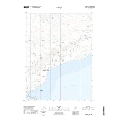
2018 Map of Seldovia C-4 NW
USGS Topo · Published 2018About this map
Homer sits at the southwestern edge of the Kenai Peninsula, where the iconic Homer Spit extends into the waters of Coal Bay and Mud Bay. This 2018 survey documents the coastal interface of Kachemak Bay, showing the residential and commercial expansion of Kachemak City and Millers Landing along the northern shore. The terrain rises sharply from Shingle Beach toward high ridges and overlooks, including Lookout Mtn and Grossman Ridge. Deep drainage systems like Waterman Canyon and Bear Canyon carve through the landscape, while the Beaver Creek Flats provide a distinct contrast in the northern interior. The presence of Homer Airport and an extensive network of modern roads like Skyline Drive East and East End Road illustrates the modern infrastructure supporting this maritime community.
Find a feature on this map
80 named features on this map. Tap any name to fly to it.
Don’t see what you’re looking for? This feature index may not catch every label — zoom into the map to look around manually.
Map Details
Editions of this 2018 Seldovia C-4 NW Map
This is the sole edition of this map. No revisions or reprints were ever made.
Other maps of this area

1946 · Seldovia C-5
USGS Topo · 1:63,360

1946 · Seldovia D-5
USGS Topo · 1:63,360

1948 · Seldovia C-4
USGS Topo · 1:63,360

1949 · Seldovia C-4
USGS Topo · 1:62,500

1949 · Seldovia D-4
USGS Topo · 1:63,360

1951 · Seldovia C-5
USGS Topo · 1:63,360

1951 · Seldovia D-5
USGS Topo · 1:63,360

1951 · Seldovia D-4
USGS Topo · 1:63,360

1951 · Seldovia
USGS Topo · 1:250,000

1961 · Seldovia C-5
USGS Topo · 1:63,360