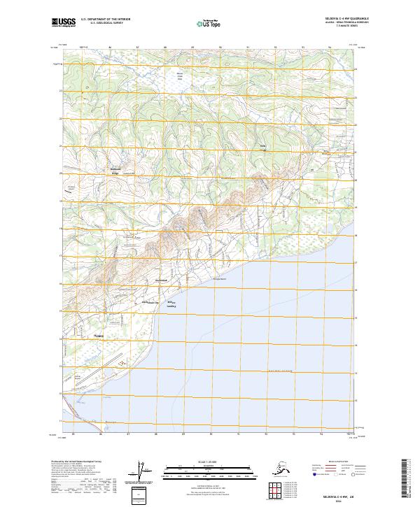
2024 Map of Seldovia C-4 NW
USGS Topo · Published 2024About this map
Homer sits at the southern edge of this peninsula landscape, where the dramatic Homer Spit extends into the Pacific Ocean, separating Mud Bay from the larger expanse of Coal Bay. The settlement pattern reflects a modern era of coastal growth, with Kachemak City and Millers Landing clustered along the shoreline while residential roads like Skyline Drive East and Crossman Ridge Road climb the higher elevations of Diamond Ridge and Crossman Ridge.
Find a feature on this map
86 named features on this map. Tap any name to fly to it.
Don’t see what you’re looking for? This feature index may not catch every label — zoom into the map to look around manually.
Map Details
Editions of this 2024 Seldovia C-4 NW Map
This is the sole edition of this map. No revisions or reprints were ever made.
Other maps of this area

1946 · Seldovia C-5
USGS Topo · 1:63,360

1946 · Seldovia D-5
USGS Topo · 1:63,360

1948 · Seldovia C-4
USGS Topo · 1:63,360

1949 · Seldovia C-4
USGS Topo · 1:62,500

1949 · Seldovia D-4
USGS Topo · 1:63,360

1951 · Seldovia C-5
USGS Topo · 1:63,360

1951 · Seldovia D-5
USGS Topo · 1:63,360

1951 · Seldovia D-4
USGS Topo · 1:63,360

1951 · Seldovia
USGS Topo · 1:250,000

1961 · Seldovia C-5
USGS Topo · 1:63,360