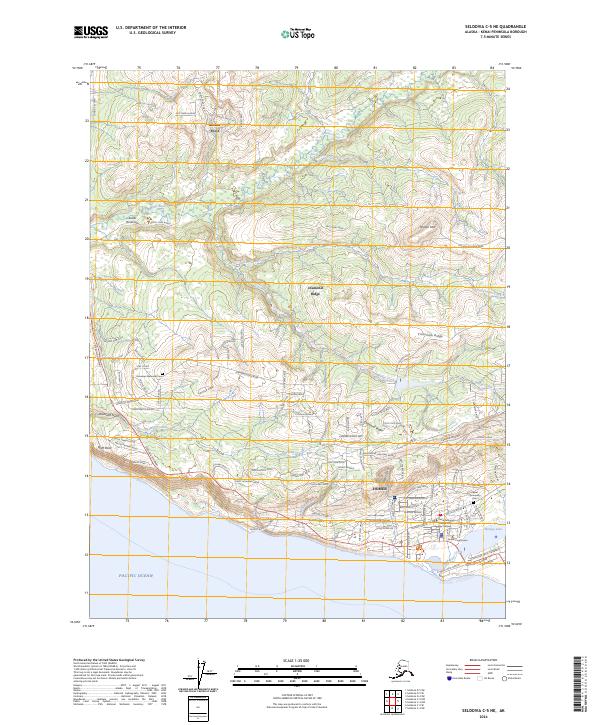
2024 Map of Seldovia C-5 NE
USGS Topo · Published 2024About this map
Homer serves as the focal point of this coastal survey, where the terrestrial landscape of the Kenai Peninsula meets the Pacific Ocean. The map documents a complex network of residential growth extending from the coastline up into the higher elevations of Diamond Ridge and Crossman Ridge. Modern infrastructure is deeply integrated into the natural topography, with the Sterling Highway providing the primary transit artery connecting the larger settlement of Homer to the community at Anchor Point in the north.
Find a feature on this map
105 named features on this map. Tap any name to fly to it.
Don’t see what you’re looking for? This feature index may not catch every label — zoom into the map to look around manually.
Map Details
Editions of this 2024 Seldovia C-5 NE Map
This is the sole edition of this map. No revisions or reprints were ever made.
Other maps of this area

1946 · Seldovia C-5
USGS Topo · 1:63,360

1946 · Seldovia D-5
USGS Topo · 1:63,360

1948 · Seldovia C-4
USGS Topo · 1:63,360

1949 · Seldovia C-4
USGS Topo · 1:62,500

1949 · Seldovia D-4
USGS Topo · 1:63,360

1951 · Seldovia C-5
USGS Topo · 1:63,360

1951 · Seldovia D-5
USGS Topo · 1:63,360

1951 · Seldovia D-4
USGS Topo · 1:63,360

1951 · Seldovia
USGS Topo · 1:250,000

1961 · Seldovia C-5
USGS Topo · 1:63,360