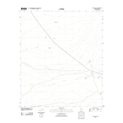
2011 Map of Sells West
USGS Topo · Published 2011About this map
Sells serves as the primary hub in this desert landscape, where the local transportation network of Big Field Rd and several Indian Routes converge. The geography is defined by a system of ephemeral watercourses including Murk Kui Wash, Sells Wash, and Pan Wash, which pattern the arid terrain. Scattered settlements and named localities such as Pan Nepodk, Etoi Ki, and Suwuk Tontk indicate the enduring human presence in the Tohono O'odham Nation. A prominent landmark, Bird Nest Hill, stands near the Bird Nest Tank, while the Sells Airport provides a modern aeronautical connection to this part of Pima County. The alignment of these features suggests a community closely tied to its desert washes and traditional road corridors.
Find a feature on this map
16 named features on this map. Tap any name to fly to it.
Don’t see what you’re looking for? This feature index may not catch every label — zoom into the map to look around manually.
Map Details
Editions of this 2011 Sells West Map
This is the sole edition of this map. No revisions or reprints were ever made.
Other maps of this area

1934 · Silver Bell
USGS Topo · 1:125,000

1937 · Comobabi
USGS Topo · 1:48,000

1941 · Sells
USGS Topo · 1:62,500

1942 · Comobabi
USGS Topo · 1:62,500

1943 · Sells
USGS Topo · 1:62,500

1943 · Fresnal
USGS Topo · 1:125,000

1953 · Ajo
USGS Topo · 1:250,000

1954 · Sonoyta
USGS Topo · 1:250,000

1956 · Nogales
USGS Topo · 1:250,000

1956 · Tucson
USGS Topo · 1:250,000