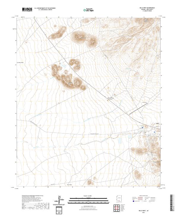
2021 Map of Sells West
USGS Topo · Published 2021About this map
Sells Valley and the Gu Oidak Valley define the broad, arid landscape of this 2021 survey, situated within the Tohono O'odham Nation. The settlement of Sells serves as the focal point in the eastern portion of the map, where the street grid transitions into the desert at Arroyo St. Higher education is represented by the Tohono Oodham Community College - West Campus, reflecting the area's role as a regional administrative and educational hub.
Find a feature on this map
29 named features on this map. Tap any name to fly to it.
Don’t see what you’re looking for? This feature index may not catch every label — zoom into the map to look around manually.
Map Details
Editions of this 2021 Sells West Map
This is the sole edition of this map. No revisions or reprints were ever made.
Other maps of this area

1934 · Silver Bell
USGS Topo · 1:125,000

1937 · Comobabi
USGS Topo · 1:48,000

1941 · Sells
USGS Topo · 1:62,500

1942 · Comobabi
USGS Topo · 1:62,500

1943 · Sells
USGS Topo · 1:62,500

1943 · Fresnal
USGS Topo · 1:125,000

1953 · Ajo
USGS Topo · 1:250,000

1954 · Sonoyta
USGS Topo · 1:250,000

1956 · Nogales
USGS Topo · 1:250,000

1956 · Tucson
USGS Topo · 1:250,000