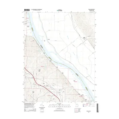
2015 Map of Selma
USGS Topo · Published 2015About this map
The Mississippi River carves a wide path through this borderland, separating the bluffs of Jefferson County, Missouri, from the expansive river bottoms of Monroe County, Illinois. In Missouri, the landscape is defined by deep ravines like Cliffdale Hollow and Selma Hollow, where the Cliffdale Hollow Natural Bridge stands as a notable geological landmark. The industrial influence of the region is evident at the River Cement Company Lake, while residential developments such as Arbor Place and Crystal City occupy the higher ground.
Find a feature on this map
80 named features on this map. Tap any name to fly to it.
Don’t see what you’re looking for? This feature index may not catch every label — zoom into the map to look around manually.
Map Details
Editions of this 2015 Selma Map
This is the sole edition of this map. No revisions or reprints were ever made.
Other maps of this area

1910 · Waterloo
USGS Topo · 1:62,500

1912 · Kimmswick
USGS Topo · 1:62,500

1913 · Waterloo
USGS Topo · 1:62,500

1915 · Renault
USGS Topo · 1:62,500

1915 · Crystal City
USGS Topo · 1:62,500

1916 · Kimmswick
USGS Topo · 1:62,500

1940 · Renault
USGS Topo · 1:62,500

1948 · Kimmswick
USGS Topo · 1:62,500

1949 · Saint Louis
USGS Topo · 1:250,000

1949 · Crystal City
USGS Topo · 1:62,500