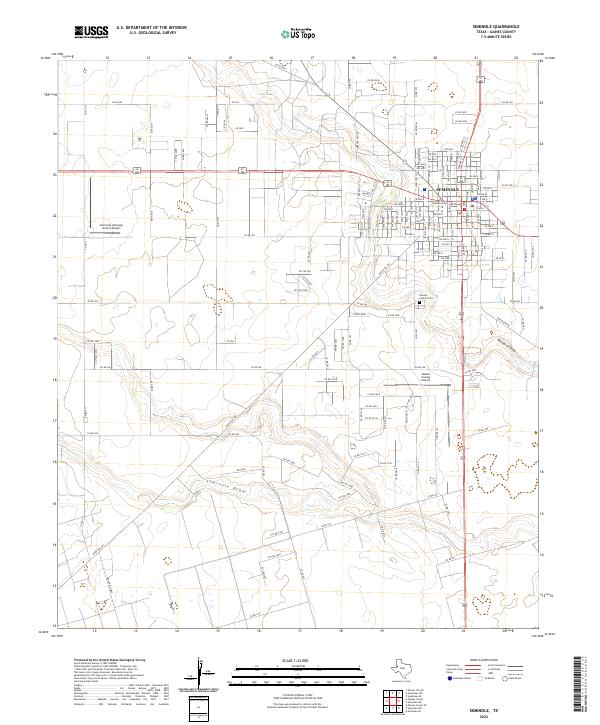
2022 Map of Seminole
USGS Topo · Published 2022About this map
Seminole serves as the focal point of this West Texas landscape, dominated by a geometric grid of residential streets and agricultural service infrastructure. The town layout is anchored by the Gaines County Courthouse, signifying its role as the administrative heart of the region. Transportation networks radiate from the center, connecting the town to the surrounding countryside via an extensive system of county roads such as Co Rd 202 and Co Rd 213.
Find a feature on this map
107 named features on this map. Tap any name to fly to it.
Don’t see what you’re looking for? This feature index may not catch every label — zoom into the map to look around manually.
Map Details
Editions of this 2022 Seminole Map
This is the sole edition of this map. No revisions or reprints were ever made.
Other maps of this area

1954 · Hobbs
USGS Topo · 1:250,000

1958 · Hobbs
USGS Topo · 1:250,000

1969 · Seminole SW
USGS Topo · 1:24,000

1970 · Seagraves SW
USGS Topo · 1:24,000

1970 · Seminole NE
USGS Topo · 1:24,000

1970 · Seagraves SE
USGS Topo · 1:24,000

1970 · Seminole SE
USGS Topo · 1:24,000

1970 · Seminole
USGS Topo · 1:24,000

1971 · Paynes Corner
USGS Topo · 1:24,000

1971 · Paynes Corner SE
USGS Topo · 1:24,000