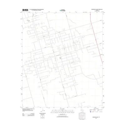
2012 Map of Seminole SW
USGS Topo · Published 2012About this map
The Doss-Robertson Oil Field and the Flanagan Harris Oil Field define the industrial character of this corner of the Llano Estacado. Situated southwest of the county seat in the early 21st century, this landscape is a dense grid of utility and service roads designed to support the region's petroleum extraction. Primary arteries like Ranch Road 2885 and Emfinger Rd cut through a geometric network of county routes, including Co Rd-322 and Co Rd-330. The map reveals a highly organized rural infrastructure where named family routes such as Shortes Rd connect scattered production sites across the high plains of Gaines County.
Find a feature on this map
19 named features on this map. Tap any name to fly to it.
Don’t see what you’re looking for? This feature index may not catch every label — zoom into the map to look around manually.
Map Details
Editions of this 2012 Seminole SW Map
This is the sole edition of this map. No revisions or reprints were ever made.
Other maps of this area

1954 · Hobbs
USGS Topo · 1:250,000

1958 · Hobbs
USGS Topo · 1:250,000

1969 · Seminole SW
USGS Topo · 1:24,000

1970 · Seminole NE
USGS Topo · 1:24,000

1970 · Seminole SE
USGS Topo · 1:24,000

1970 · Seminole
USGS Topo · 1:24,000

1971 · Paynes Corner
USGS Topo · 1:24,000

1971 · Paynes Corner SE
USGS Topo · 1:24,000

1971 · Florey
USGS Topo · 1:24,000

1971 · Frankel City
USGS Topo · 1:24,000