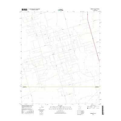
2016 Map of Seminole SW
USGS Topo · Published 2016About this map
The high plains of the Permian Basin are defined here by a dense, geometric grid of rural roads and section lines straddling the border between Gaines Co and Andrews Co. This 2016 survey illustrates the structured agricultural and industrial layout of West Texas, where long-distance routes like Ranch Rd 2885 and Shortes Rd provide the primary connectivity across an otherwise open landscape. The map reveals a precise network of county roads, including Co Rd 322, Co Rd 336, and Co Rd 305, which segment the terrain into uniform blocks. This pattern of land use is typical of the region's ranching and resource-extraction history, showing how transportation infrastructure adapts to the flat, expansive geography of the Llano Estacado. Local family names and numeric designations preserved in labels like Co Rd 420 and the NW-series roads offer specific geographic markers for those tracing land ownership and development in this corner of Texas.
Find a feature on this map
20 named features on this map. Tap any name to fly to it.
Don’t see what you’re looking for? This feature index may not catch every label — zoom into the map to look around manually.
Map Details
Editions of this 2016 Seminole SW Map
This is the sole edition of this map. No revisions or reprints were ever made.
Other maps of this area

1954 · Hobbs
USGS Topo · 1:250,000

1958 · Hobbs
USGS Topo · 1:250,000

1969 · Seminole SW
USGS Topo · 1:24,000

1970 · Seminole NE
USGS Topo · 1:24,000

1970 · Seminole SE
USGS Topo · 1:24,000

1970 · Seminole
USGS Topo · 1:24,000

1971 · Paynes Corner
USGS Topo · 1:24,000

1971 · Paynes Corner SE
USGS Topo · 1:24,000

1971 · Florey
USGS Topo · 1:24,000

1971 · Frankel City
USGS Topo · 1:24,000