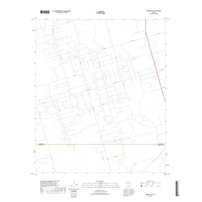
2019 Map of Seminole SW
USGS Topo · Published 2019About this map
The Gaines Co and Andrews Co border divides this West Texas landscape, where the flat topography is etched by an orderly grid of rural transport routes. The area is defined by its agricultural and energy-sector layout, with long-stretching corridors like Ranch Rd 2885 and Shortes Rd providing the primary structure for movement across the plains.
Find a feature on this map
20 named features on this map. Tap any name to fly to it.
Don’t see what you’re looking for? This feature index may not catch every label — zoom into the map to look around manually.
Map Details
Editions of this 2019 Seminole SW Map
This is the sole edition of this map. No revisions or reprints were ever made.
Other maps of this area

1954 · Hobbs
USGS Topo · 1:250,000

1958 · Hobbs
USGS Topo · 1:250,000

1969 · Seminole SW
USGS Topo · 1:24,000

1970 · Seminole NE
USGS Topo · 1:24,000

1970 · Seminole SE
USGS Topo · 1:24,000

1970 · Seminole
USGS Topo · 1:24,000

1971 · Paynes Corner
USGS Topo · 1:24,000

1971 · Paynes Corner SE
USGS Topo · 1:24,000

1971 · Florey
USGS Topo · 1:24,000

1971 · Frankel City
USGS Topo · 1:24,000