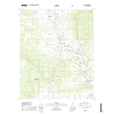
2002 Map of Sena
USGS Topo · Published 2003About this map
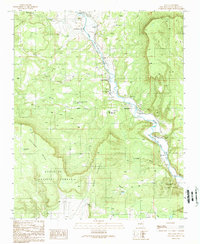
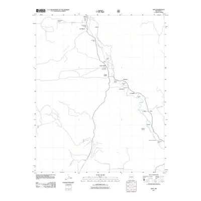
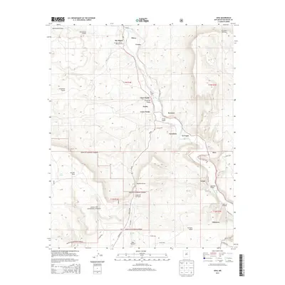
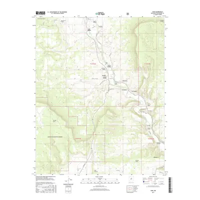
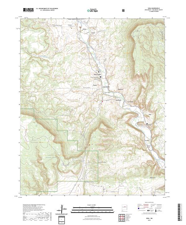
The Pecos River carves a deep path through San Miguel County, dictating the settlement patterns and agricultural life of this high-desert landscape. Following the river's course, a string of historic villages including Upper Pueblo, Lower Pueblo, and Sena occupy the fertile valley floor, supported by an intricate system of traditional irrigation channels such as the Ribera Ditch, Lovato DITCH, and Sena DITCH. The map highlights the deep human history of the corridor, where the Pecos Historic Trail runs parallel to the water through San Miguel and Ribera.
Find a feature on this map
46 named features on this map. Tap any name to fly to it.
Don’t see what you’re looking for? This feature index may not catch every label — zoom into the map to look around manually.
Map Details
Editions of this 2002 Sena Map
This is the sole edition of this map. No revisions or reprints were ever made.
Historical Maps of La Fragua Through Time
7 maps found