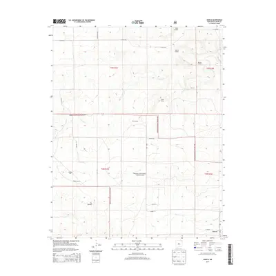
2013 Map of Seneca
USGS Topo · Published 2013About this map
The small community of Seneca anchors this northeastern New Mexico landscape, situated at the junction of Co Rd A087 and Co Rd A055. The terrain is defined by the expansive Kiowa National Grassland, which covers significant portions of the territory. Water is a rare but vital feature in this high plains environment, carved out by Corrumpa Cr and the ephemeral Alamos Cr. Notable landmarks rise from the plateau, including the distinctively named The Pyramid and Lookout Hill, providing navigational anchors for the network of rural roads such as Campbell Rd and Corrumpa Rd. The map reveals a land structured by the Public Land Survey System, with township boundaries like t28n r36e demarcating the ranching and agricultural tracts that have shaped Union County's history.
Find a feature on this map
23 named features on this map. Tap any name to fly to it.
Don’t see what you’re looking for? This feature index may not catch every label — zoom into the map to look around manually.
Map Details
Editions of this 2013 Seneca Map
This is the sole edition of this map. No revisions or reprints were ever made.
Other maps of this area

1954 · Dalhart
USGS Topo · 1:250,000

1958 · Dalhart
USGS Topo · 1:250,000

1962 · Dalhart
USGS Topo · 1:250,000

1972 · Seneca
USGS Topo · 1:24,000

1972 · Mc Laughlin Bridge
USGS Topo · 1:24,000

1972 · Bible Top Butte
USGS Topo · 1:24,000

1972 · Cuates School
USGS Topo · 1:24,000

1972 · Atencio
USGS Topo · 1:24,000

1972 · Rardin Hill
USGS Topo · 1:24,000

1972 · Moses
USGS Topo · 1:24,000