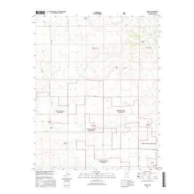
2017 Map of Seneca
USGS Topo · Published 2017About this map
Kiowa National Grassland dominates this corner of Union County, reflecting a landscape defined by expansive high-plains grazing and a complex network of seasonal drainage. The settlement of Seneca anchors the southeastern corner, connected to the surrounding range by a grid of rural routes such as Corrumpa Rd and Co Rd A055. The topography is etched by significant watercourses including Corrumpa Cr, which winds through the northern and central sections, and Alamos Cr to the south. Distinctive landmarks like Lookout Hill and The Pyramid rise above the flats, while deep incisions like Road Canyon and Barrel Canyon characterize the northern reaches. This 2017 survey illustrates the modern management of these historical grasslands, showing the enduring ranching infrastructure and the natural draws like Pinco Draw and Gyp Arroyo that dictate the movement of livestock and wildlife across the terrain.
Find a feature on this map
27 named features on this map. Tap any name to fly to it.
Don’t see what you’re looking for? This feature index may not catch every label — zoom into the map to look around manually.
Map Details
Editions of this 2017 Seneca Map
This is the sole edition of this map. No revisions or reprints were ever made.
Other maps of this area

1954 · Dalhart
USGS Topo · 1:250,000

1958 · Dalhart
USGS Topo · 1:250,000

1962 · Dalhart
USGS Topo · 1:250,000

1972 · Seneca
USGS Topo · 1:24,000

1972 · Mc Laughlin Bridge
USGS Topo · 1:24,000

1972 · Bible Top Butte
USGS Topo · 1:24,000

1972 · Cuates School
USGS Topo · 1:24,000

1972 · Atencio
USGS Topo · 1:24,000

1972 · Rardin Hill
USGS Topo · 1:24,000

1972 · Moses
USGS Topo · 1:24,000