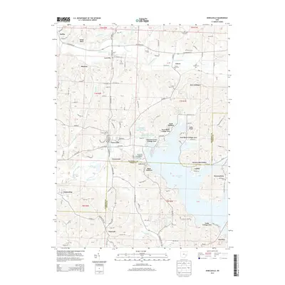
2013 Map of Senecaville
USGS Topo · Published 2013About this map
Senecaville Lake dominates the central landscape of this Guernsey and Noble County border region, serving as a primary focal point for residential development and recreation. Numerous lakeside communities have emerged along its winding eastern and western shores, including West Shore Cottage Area, Duch Addition, and Seneca Lake Estates. Just south of the dam, the Senecaville National Fish Hatchery utilizes the managed waters, while the village of Senecaville itself sits at the historic crossroads of Lashley Road and Wintergreen Road.
Find a feature on this map
110 named features on this map. Tap any name to fly to it.
Don’t see what you’re looking for? This feature index may not catch every label — zoom into the map to look around manually.
Map Details
Editions of this 2013 Senecaville Map
This is the sole edition of this map. No revisions or reprints were ever made.
Other maps of this area

1909 · Antrim
USGS Topo · 1:48,000

1909 · Summerfield
USGS Topo · 1:62,500

1909 · Cambridge
USGS Topo · 1:62,500

1911 · Antrim
USGS Topo · 1:62,500

1911 · Cumberland
USGS Topo · 1:62,500

1911 · Summerfield
USGS Topo · 1:62,500

1912 · Cambridge
USGS Topo · 1:62,500

1949 · Clarksburg
USGS Topo · 1:250,000

1951 · Canton
USGS Topo · 1:250,000

1953 · Canton
USGS Topo · 1:250,000