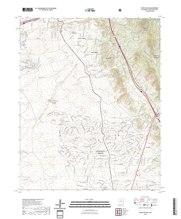
2023 Map of Seton Village
USGS Topo · Published 2023About this map
Seton Village and the expansive residential development of Eldorado at Santa Fe define this high-desert landscape southeast of the city. The area shows a sophisticated network of modern roads and trails, such as Arroyo Hondo Trl and Leaning Powder Rd, carved into a terrain of dramatic canyons and ephemeral watercourses. Key drainage systems including Bonanza Creek and Cienega Creek cut through the foothills, while the northern section is anchored by Santa Fe Community College. The map captures a transition from rural homesteading roots toward modern suburban and community planning. Significant geographic features like Cañada del Rancho and Piedras Negras Canyon illustrate the complex topography that influences local settlement patterns, ranging from the established enclave of Sunlit Hills to the rugged Santa Fe Foothills.
Find a feature on this map
213 named features on this map. Tap any name to fly to it.
Don’t see what you’re looking for? This feature index may not catch every label — zoom into the map to look around manually.
Map Details
Editions of this 2023 Seton Village Map
This is the sole edition of this map. No revisions or reprints were ever made.
Other maps of this area

1889 · Santa Fe
USGS Topo · 1:125,000

1892 · San Pedro
USGS Topo · 1:125,000

1892 · Santa Clara
USGS Topo · 1:125,000

1894 · Santa Fe
USGS Topo · 1:125,000

1894 · Lamy
USGS Topo · 1:125,000

1951 · Agua Fria
USGS Topo · 1:24,000

1951 · Turquoise Hill
USGS Topo · 1:24,000

1952 · Santa Fe
USGS Topo · 1:24,000

1952 · Turquoise Hill
USGS Topo · 1:24,000

1952 · Seton Village
USGS Topo · 1:24,000