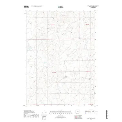
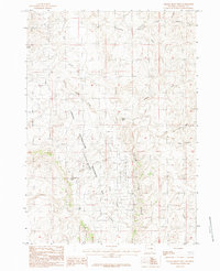
2017 Map of Seven L Creek West
USGS Topo · Published 2017About this map
Water management and remote access routes define this high-plains landscape in northern Natrona County. Local infrastructure is anchored by the School Section Reservoir and Houston Reservoir, critical collection points in a terrain carved by intermittent drainages. The drainage network includes Little Teapot Cr, E Teapot Cr, and the eponymous Seven L Cr, which wind through the land near deep topographic depressions such as McKenzie Draw and Coopers Draw. The placement of these water features suggests the vital importance of seasonal runoff in this arid environment. Transportation through the territory is facilitated by a few key thoroughfares, notably Naval Rd and N Ormsby Rd, which provide the primary links across the vast township divisions of the Casper region.
Find a feature on this map
14 named features on this map. Tap any name to fly to it.
Don’t see what you’re looking for? This feature index may not catch every label — zoom into the map to look around manually.
Map Details
Editions of this 2017 Seven L Creek West Map
This is the sole edition of this map. No revisions or reprints were ever made.
Other maps of this area

1955 · Arminto
USGS Topo · 1:250,000

1958 · Arminto
USGS Topo · 1:250,000

1959 · Edgerton
USGS Topo · 1:62,500

1959 · Ormsby Draw
USGS Topo · 1:62,500

1962 · Arminto
USGS Topo · 1:250,000

1968 · Salt Creek
USGS Topo · 1:24,000
1968 · Teapot Rock
USGS Topo · 1:24,000
1968 · Mc Pherson Draw
USGS Topo · 1:24,000
1981 · Midwest
USGS Topo · 1:100,000
1984 · Gillam Draw West
USGS Topo · 1:24,000