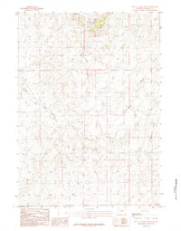
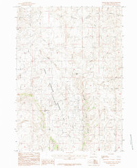
1984 Map of Seven L Creek West
USGS Topo · Published 1984About this map
Naval Petroleum Reserve No 3 (Teapot Dome) sits at the northern edge of this high plains landscape in Natrona County. This specific area was the center of the infamous Teapot Dome scandal, and by the time of this mid-1980s survey, the terrain is marked by the industrial infrastructure of national energy production. The hydrology of the region is defined by intermittent drainages that carve through the arid topography, most notably Little Teapot Creek and East Teapot Creek, which flow southward toward the more expansive Seven L Creek. Further to the east, the landscape transitions into the watershed of Coopers Draw, illustrating the complex network of seasonal watercourses essential to land management and mineral extraction in the Wyoming basin.
Find a feature on this map
5 named features on this map. Tap any name to fly to it.
Don’t see what you’re looking for? This feature index may not catch every label — zoom into the map to look around manually.
Map Details
Editions of this 1984 Seven L Creek West Map
This is the sole edition of this map. No revisions or reprints were ever made.
Other maps of this area

1955 · Arminto
USGS Topo · 1:250,000

1958 · Arminto
USGS Topo · 1:250,000

1959 · Edgerton
USGS Topo · 1:62,500

1959 · Ormsby Draw
USGS Topo · 1:62,500

1962 · Arminto
USGS Topo · 1:250,000

1968 · Salt Creek
USGS Topo · 1:24,000
1968 · Teapot Rock
USGS Topo · 1:24,000
1968 · Mc Pherson Draw
USGS Topo · 1:24,000
1981 · Midwest
USGS Topo · 1:100,000
1984 · Gillam Draw West
USGS Topo · 1:24,000