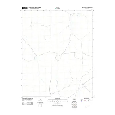
2010 Map of Seven Lakes NW
USGS Topo · Published 2010About this map
The Navajo Tribe Ranch occupies the southeastern portion of this landscape within the Eastern Navajo Agency, reflecting the continued importance of tribal land management and agricultural heritage in the region. The terrain is defined by an intricate network of desert drainage systems, most notably the winding paths of Kin Klizhin Wash and Fajado Wash. These ephemeral watercourses shape the arid environment, carving the subtle topography that dictates the placement of local roads and boundaries. The map provides a look at the infrastructure of the early 21st century, where large-scale ranching and natural geographic features remain the primary landmarks in this part of New Mexico.
Find a feature on this map
3 named features on this map. Tap any name to fly to it.
Don’t see what you’re looking for? This feature index may not catch every label — zoom into the map to look around manually.
Map Details
Editions of this 2010 Seven Lakes NW Map
This is the sole edition of this map. No revisions or reprints were ever made.
Other maps of this area

1883 · Mt. Taylor
USGS Topo · 1:250,000

1886 · Wingate
USGS Topo · 1:250,000

1886 · Mt. Taylor
USGS Topo · 1:250,000

1889 · Largo
USGS Topo · 1:250,000

1889 · Chaco
USGS Topo · 1:250,000

1892 · Wingate
USGS Topo · 1:250,000

1892 · Chaco
USGS Topo · 1:250,000

1892 · Mt. Taylor
USGS Topo · 1:250,000

1895 · Largo
USGS Topo · 1:250,000

1899 · Mt. Taylor
USGS Topo · 1:250,000