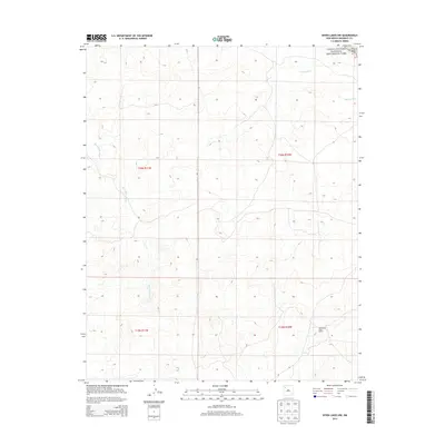
2013 Map of Seven Lakes NW
USGS Topo · Published 2013About this map
Chaco Culture National Historical Park occupies the northeastern corner of this high-desert landscape, where the edges of the Chacra Mesa overlook a complex network of seasonal drainage channels. The terrain is defined by its arid hydrology, primarily the Fajada Wash and Kin Klizhin Wash, which dictate the movement across this portion of the Eastern Navajo Agency. A localized point of interest for researchers is The Navajo Tribe Ranch located in the southeastern quadrant, representing a contemporary footprint of land use in a region world-renowned for its ancient Chacoan archaeological significance. The map provides a detailed view of the township and range survey lines, such as t20n r11w and t19n r10w, which overlay the natural topography of the San Juan Basin.
Find a feature on this map
9 named features on this map. Tap any name to fly to it.
Don’t see what you’re looking for? This feature index may not catch every label — zoom into the map to look around manually.
Map Details
Editions of this 2013 Seven Lakes NW Map
This is the sole edition of this map. No revisions or reprints were ever made.
Other maps of this area

1883 · Mt. Taylor
USGS Topo · 1:250,000

1886 · Wingate
USGS Topo · 1:250,000

1886 · Mt. Taylor
USGS Topo · 1:250,000

1889 · Largo
USGS Topo · 1:250,000

1889 · Chaco
USGS Topo · 1:250,000

1892 · Wingate
USGS Topo · 1:250,000

1892 · Chaco
USGS Topo · 1:250,000

1892 · Mt. Taylor
USGS Topo · 1:250,000

1895 · Largo
USGS Topo · 1:250,000

1899 · Mt. Taylor
USGS Topo · 1:250,000